Print publication with the LorikPublisher module
Efficient and flexible solution combining the power of layout features and the accuracy of your cartographic data
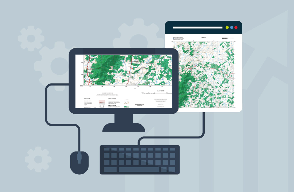
Easily create layout templates to produce atlases, maps or posters. Output Geotiff or Geospatial PDF files. Export color raster or vector PDF files with layers and templates.
Digital output with the LorikDigital module
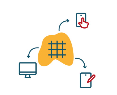
Produce high resolution contents for online map servers or mobile applications.
Use an innovative solution to easily generate cartographic content for your online publication with local storage and tile caching system.
Print publication
A wide range of formats are available to export professional-quality maps as color files or printing films, or as georeferenced raster files.
- Raster formats: PostScript, Tiff, PDF and GeoTIFF
- Vector formats: EPS, PostScript, PDF and Geospatial PDF (with layers and document templates)
- CMYK color separation or custom film output
- Direct printing to any printer
- Export indexes of text and symbols
A unique and high performance layout tool
Devise fully customizable export templates to automate the publishing of your maps. Tailor your maps to your publishing requirements without modifying data sources and produce multiple map products from the same original database.
- Import data with a set of tools to match a predefined layout
- Create multiple layout areas to combine data from multiple sources
- Text variables to automatically fill in margin information
- Use of multiple templates
- Automatic grid generation
- Text and point symbols indexes exports
- Creation of inserts
- Layout objects such as scale bars, bar codes or grid declination diagrams
- Creation and management of legends
Automatic creation of tiles for your digital publications
LorikDigital allow the creation of web & mobile projects from existing cartographic content defining mosaic of tiles with a large number of customizable options:
- Export raster: gif, png, jpeg, tiff, jgw, pgw, geotiff, flash – Vector exports: eps, pdf.
- Reporting files export: creation of a text file using variables for the whole mosaic
- Export of companion files: creation of a text file using variables for each tile
- Creation of kml or gpx files
- Creation of points, lines and text index files
- OpenLayer browser generation
