LorikGISTools
‘The’ Geoprocessing Toolbox You Can Test 100% for Free
• • •
LorikGISTools? How does it work in practice?
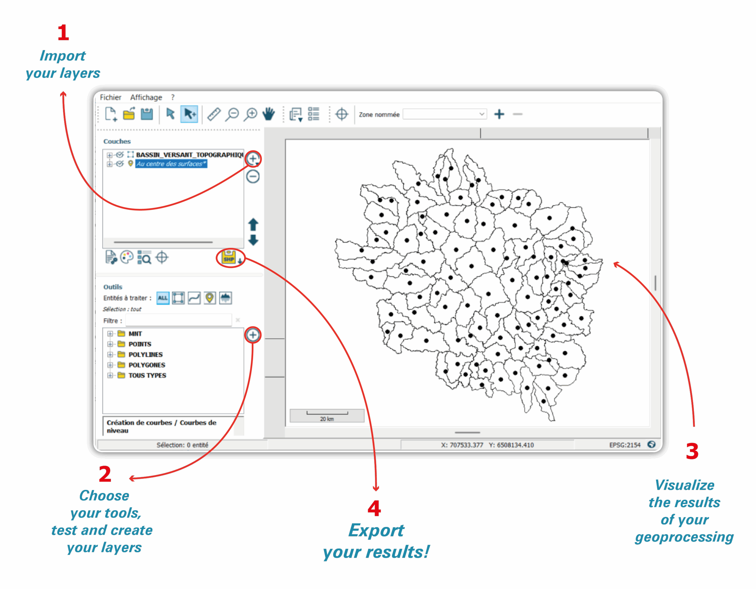
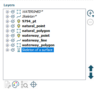
1- Load your GIS vector layers, your georeferenced images, your DEMs.
A wide range of formats is compatible with our software. Data are imported simultaneously and adapted to the workspace georeferencing even if their original coordinates and structures differ.
The tools let you work on vector layers as well as DEM layers.
Once data are loaded, you can modify the symbolization used for the display of the workspace, open the attribute table for the selected entities and get a layer summary (number of features, list of fields, projection system, etc…).
2- Choose tools according to the type of features to process. Use all tools without limits, for free.
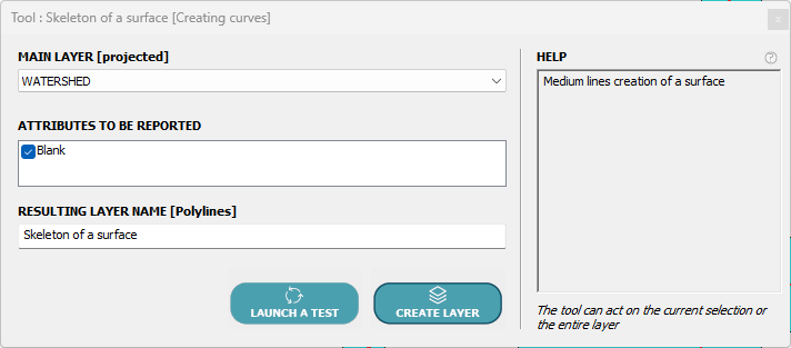
After configuring a tool, test and see the results on the fly, on all entities of the layer or on a predefined selection.
Tool parameters are defined step by step:
-
- Select the main layer on which processing will be performed.
- Select any supplementary layers used to aid the processing of the main layer.
- Configure options and tolerance criteria.
- Choose attributes to copy if needed.
- Add conditions on the main layer if necessary.
- Name the resulting layer.
- Define the georeferencing of the resulting layer.
Processing can be run on the whole layer or on a selection of entities.
The list of tools is available: HERE
3- View your processing results and refine parameters as needed
Results are stored in temporary layers. They are automatically saved in the project and are not destroyed when the file is closed.
4- Export your results and reuse them in your working environment
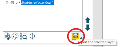
Exporting as SHP ensures universal compatibility with GIS software such as QGIS, ArcGIS, etc. It guarantees you an optimal use of results without changing your usual production workflow!
The little extra from LorikGISTools!
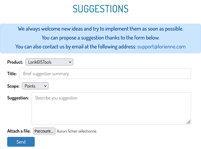
A suggestion box to adapt the software to your needs
Between open-source software such as QGIS and full professional suites like ArcGIS, it can sometimes be difficult to find the specific tools needed to solve your technical problems. The obstacles are numerous and varied: time lost on forums, insufficient knowledge of the Python language to create custom functions, slow or unresponsive customer support, etc. With the suggestion box integrated directly into LorikGISTools, every user has the possibility to submit their requirement so that our team of developers can study the feasibility of creating and integrating a new tool or new parameters for an existing tool.
At Lorienne, we guarantee a response time under 48 hours and we do everything possible to provide reactive, productive customer service. We also commit to enriching the user community by placing no restrictions on testing tools developed for another user. Tools are not developed as plugins but automatically integrated to the toolbox library accessible to everyone.
To sum up …
More than 30 years of expertise, powerful and precise algorithms
In light of the needs of the clients we support in their automated map‑creation workflows with our LorikSoftware suite, we created LorikGISTools to give you -professionals in geomatics and cartography- a new access to powerful processing algorithms to complement your production workflows in your usual environment (QGIS, ArcGIS, etc.).
A user‑friendly software to be used 100% free
With a simple, efficient interface you can choose tools, test the desired processing, then create the resulting layers for export in SHP format. On‑the‑fly tests make it easy to adjust parameters until you validate the creation of the final layer and do the SHP export.
Many tools are available and can be used free of charge with no time limit. All tools are free in test mode.
Go further!
You can find on these links:
▪️An overview of the application: Overview
▪️A dedicated page detailing license pricing: Plans & Pricing
▪️A description of all geoprocessing tools: Tools List
▪️Detailed documentation on using LorikGISTools: Documentation
