CONTACT
14, rue de la Beaune 93100 Montreuil, FRANCE
+33 (0)1 48 51 12 12
contact@lorienne.com
© LORIENNE – 2021 – Legal information – privacy
![]()
EASY SYMBOLIZATION
Graphics libraries

INCREASED READABILITY
Automatic text placement
DATA MANAGEMENT
Data integration

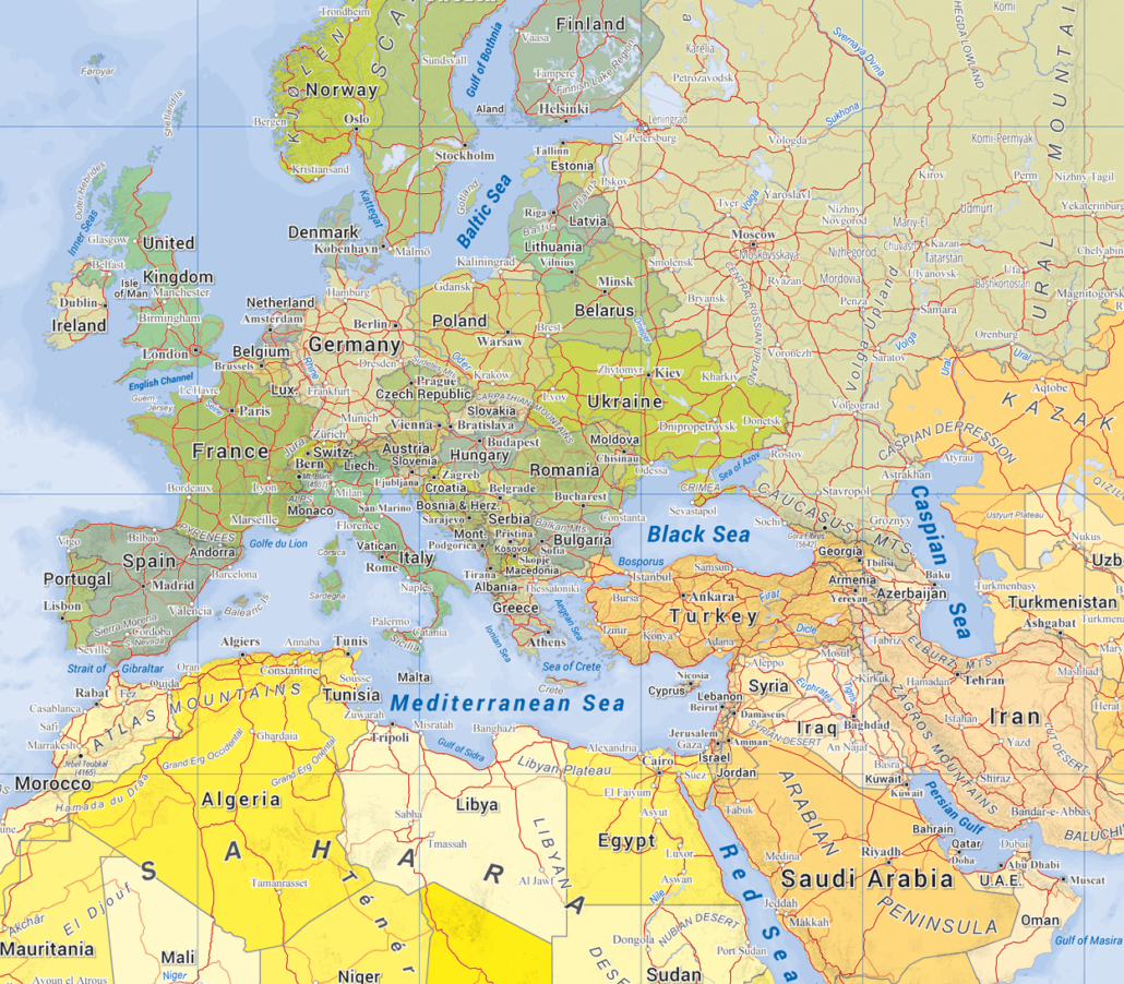
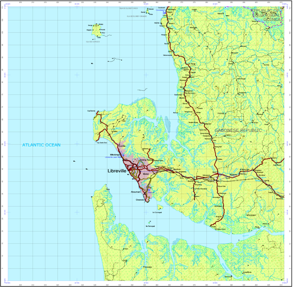
VERSATILE MAPS AND DATA
Data authoring
DESIGN SMARTLY
Cartographic generalization

WIDE RANGE OF PRODUCTS
Cartographic databases
FAST DISTRIBUTION
Layout and printing

ONLINE PUBLICATION
Mobile and Internet
INCREASED PRODUCTIVITY
Mapping the spatial data

COST OPTIMIZATION
Evaluate data quality
LorikGISMapper
This module is designed to import and convert existing data in order to produce a complete cartographic repository.
LorikCartographer
The module is an engine for the creation, adaptation and refinement of maps before publication. The user interface enables the optimization of the interactive of the cartographic operators operations.
LorikPublisher
This module allows to design page layouts for print exports from a cartographic base or from a defined transfer model.
LorikDigital
This module is designed to produce mosaic tiles from a cartographic database or from a transfer model.
DBManager
Import of GIS data sources to produce homogeneous and seamless cartographic database. Organization and management of the production and updating of the database (based on original data sources updating). Working by sheet grid to increase productivity.
DBCartographer
Edition and finalization of cartographic databases generated with LorikDBManager. In multi-user mode, it optimizes processing and manipulating database by restricting the selection to a limited area.
LorikBatcher
The batcher is designed to automate all the tasks of the various modules to optimize the cartographic production.
LorikViewer
This module enables to explore GIS databases. Based on queries, it makes it easy for the user to analyze data and metadata parameters.
QualityChecker
Used upstream of the cartographic production, this module enables to check and validate the data from a geometric perspective.
LicenseInstaller
Several types of licenses are available depending of the modules. The tool allows to manage licenses and options.
14, rue de la Beaune 93100 Montreuil, FRANCE
+33 (0)1 48 51 12 12
contact@lorienne.com
© LORIENNE – 2021 – Legal information – privacy
![]()